Reproduced from Ordnance Survey map data by permission of Ordnance Survey, © Crown copyright.
Aerial View
FP01 Hobcroft Lane to Valewood Farm - NCW - Aerial View
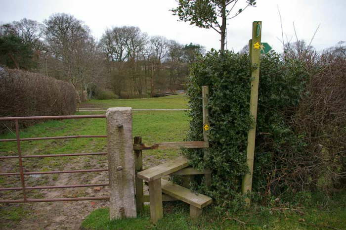
Final stile where FP01 joins FP02 (see previous) from left, FP03 from right and FP11 ahead.