Reproduced from Ordnance Survey map data by permission of Ordnance Survey, © Crown copyright.
Aerial View
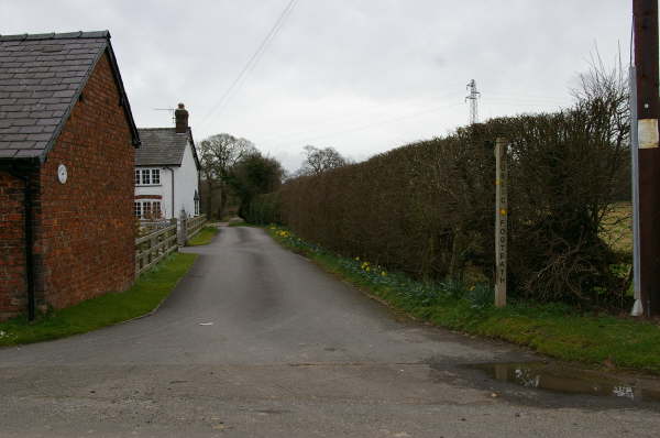
FP05 to FP11: Smith Lane
The post is waymarked for NCW which is incorrect. However this track does lead to FP04,but for NCW continue south (right in picture) for 35m and join FP11 on the left.