Reproduced from Ordnance Survey map data by permission of Ordnance Survey, © Crown copyright.
Aerial View N
Some of the views are on the North Cheshire Way - as noted in the picture title.
FP11 Side Views on the North Cheshire Way
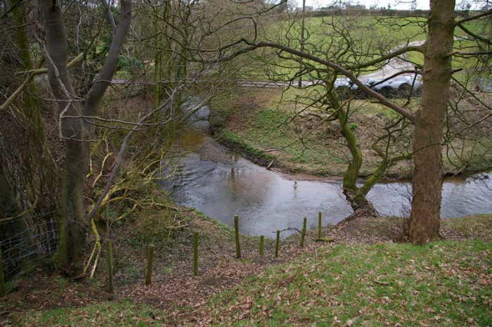
This could be the route of FP11 (as marked on the map). Possibly to the left over the track bridge or maybe to the right over the footbrige - see next picture.